Mapping Cultures: European Cartography and Imperial Worlds



An introductory history course examining how cartography shaped ideas of power, society and identity in Britain and its former Asian colonies.
About this course
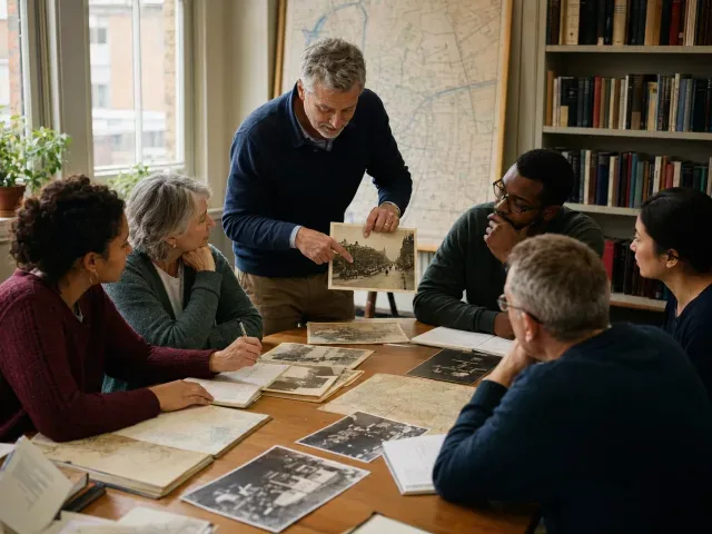
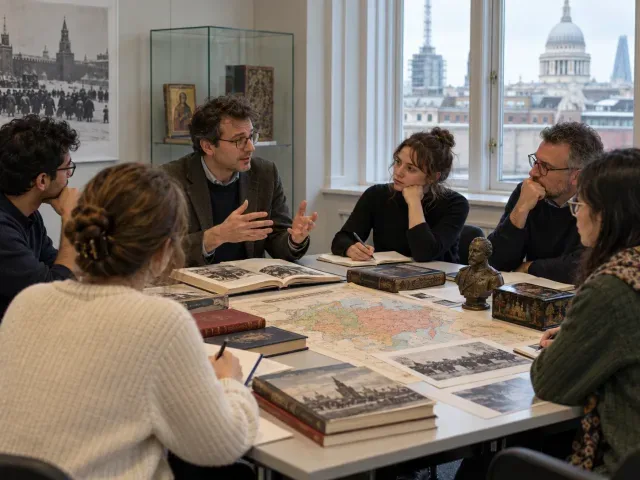
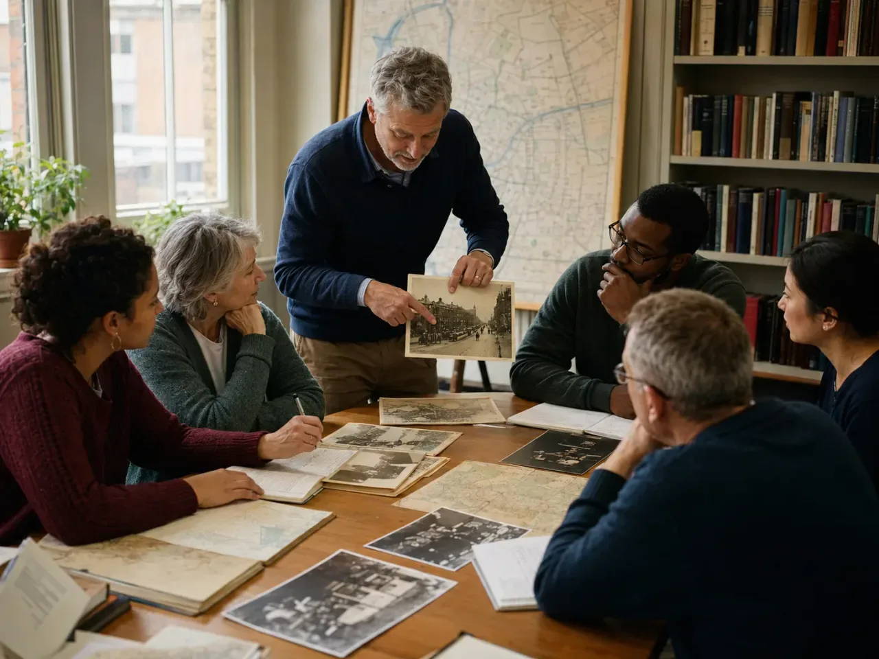
The course investigates mapping practices in Victorian and early modern Britain, with particular attention to London, the Great Exhibition and Charles Booth’s poverty maps. It also considers cartography’s role in governing colonial India and supporting British commercial and political interests in East Asia, including Japan. Illustrated lectures, group discussion and map analysis are used to examine how maps functioned as instruments of navigation, administration, knowledge and authority. Wider themes include urbanisation, disease, religion, environmental research, heritage, oral history and cultural memory.
What you'll learn
- Compare Western and non-Western approaches to space, place and knowledge.
- Situate British cartographic practices within international and colonial contexts.
- Analyse how maps record, shape and challenge narratives of history, heritage, memory and identity.
- Interpret maps as sources for researching 19th-century cities and imperial landscapes.
Is this course right for you?
This introductory course is intended for learners interested in maps, anthropology, and Victorian, British, global or imperial history. Participation includes illustrated teaching, map analysis and class discussion, with an emphasis on curiosity, open-mindedness and engagement in debates and activities rather than particular skills.
- Designed for new and returning City Lit students.
- Learners are expected to engage in group discussions, debates and class activities.
Before you go
- There are no additional course or material costs.
Class teacher
Yasmin Hales
Class teacher
Where this course runs
Upcoming classes
1 class
Selected date
Wed 25 Nov 2026
18:00 – 20:00 • 4 weeks
£139
Keeley Street, Covent Garden