Mapping Cultures: indigenous cartography and embodied landscapes


An introductory course exploring Indigenous cartography through lectures, discussions and presentations, with examples from diverse cultures and landscapes.
About this course
This course examines Indigenous ways of representing space, place and landscape, questioning assumptions associated with flat, paper maps. Illustrated lectures and group discussions use examples including Marshallese stick maps of ocean swells, Inuit tactile coastline maps, Australian oral histories and songlines, Aztec maps, Inca quipu and African Lukasa memory maps. Learners also consider how maps relate to cultural transmission, land rights, colonial change, and the combination of Indigenous knowledge with contemporary technology and GIS. Reflection pieces and presentations provide additional ways to work with the material.
What you'll learn
- Explain how Indigenous maps challenge Western cartographic assumptions.
- Compare how environment, materials and culture shape different forms of mapping.
- Explore the significance of oral histories, songlines and visual representations of landscape.
- Examine links between Indigenous maps, colonial change and land rights claims.
- Describe connections between Indigenous knowledge and contemporary technology, including GIS.
Is this course right for you?
As an introductory course, it is aimed at learners interested in maps and geography, Indigenous cultures, global history or social anthropology. No particular skills are specified, but participation includes discussion, reflection and presentations.
- New and returning students are welcomed.
- Class participation includes debates, discussions and other activities.
Before you go
- Participants may wish to bring their own note-taking materials.
Class teacher
Yasmin Hales
Class teacher
Where this course runs
Upcoming classes
1 class
Selected date
Tue 2 Feb 2027
18:00 – 20:00 • 4 weeks
£139
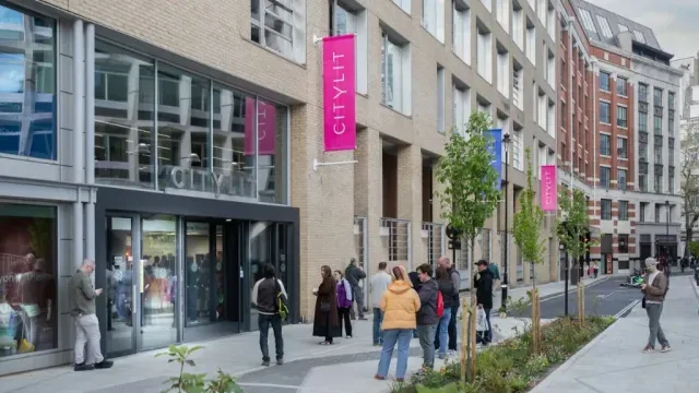
Keeley Street, Covent Garden